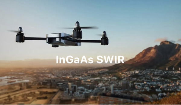
With the continuous development of sensing technology, UAVs - Unmanned Aerial Vehicle- can carry a variety of sensors such as high-resolution cameras, multispectral sensors, and LiDAR. It enables UAVs to acquire a wider range of data and provide more detailed information in various application , The future of UAVs becomes automated and intelligent, with more advanced sensing and decision-making capabilities This will allow UAVs to better adapt to complex environments and complicated task requirements, thereby enhancing efficiency and safety.
With the constant innovation and development of UAV technology, it has transformed it from a fragile machine incapable of lifting heavier objects into a versatile tool capable of carrying various payloads for diverse operations. Consequently, UAV systems have vast potential applications across different industries.
In recent years,the SWIR has more practical applications and specific fields,due to in-depth understanding of SWIR applications and the increased market demands and customer needs
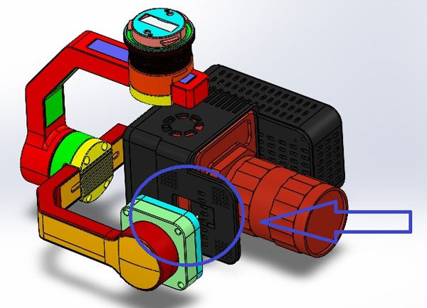
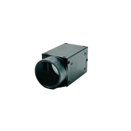
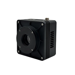
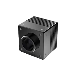
To meet research and development needs, a custom dual-axis gimbal is designed. The SWIR Camera of GHOPTO undergoes video encoding and outputs an H.264 formatted video stream. It is mounted on the DJI M300 UAV platform and transmits real-time video to the ground controller with a display screen. The camera utilizes a 75mm telephoto lens, installed on a 3-axis stabilized gimbal and mounted on the front of the M300 UAV via the DJI SKYport quick-release interface. Gimbal control is achieved using the DJI SDK development kit, with two dials on the upper side of the controller facilitating pitch and horizontal rotation.
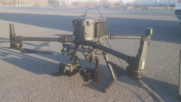
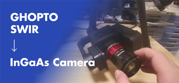
GHOPTO SWIR CAMERA SPECIFICATIONS:
Array Format | 640 x 512 |
Spectral Response | 0.9μm ~ 1.7μm |
Pixel Pitch | 15μm |
Lens Amount | C-Mount |
Integration Time | 100 μs to full fame |
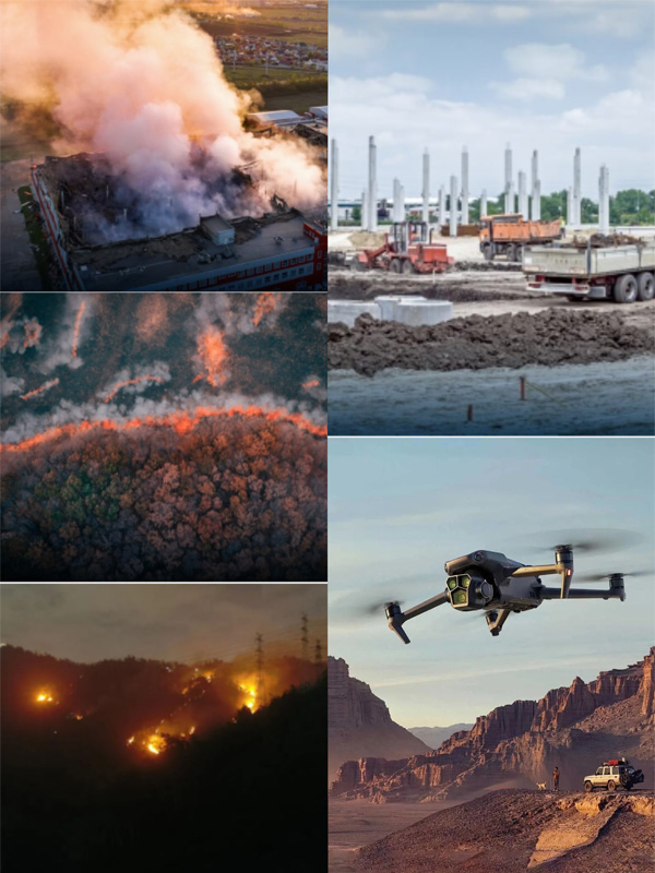
This system can be applied to multiple domains, including UAV crop monitoring, UAV forest dynamic monitoring, hyperspectral imaging, and more. Additionally, it exists extensive application value in military, security, rescue operations, environmental monitoring, and infrastructure inspections. The China infrared sensor of this system provides real-time intelligence and data, assisting decision-makers in making accurate judgments and taking appropriate actions.
As technology continues to advance, the prospects for the application of SWI UAVs are expected to further expand. Future UAVs are expected to be more networked and capable of collaborative operations, enabling them to execute tasks over larger areas, thereby enhancing operational efficiency and coverage.

